Ecological Profiling
- Jesús Arce
- Oct 1, 2024
- 4 min read

What is it?
Ecological profiling refers to the electrical log that is performed in a guide well of an oil drilling operation.
Its objective is to establish a precedent of the state of aquifers present in the area up to seven hundred meters deep, at the time of beginning drilling tasks.

Although it is part of environmental regulations applied in our country (Argentina) by some provincial states, it represents an irreplaceable tool for the oil field operator from a preventive point of view regarding soil and aquifer contamination, provided that certain precautions are taken regarding the methodology applied to perform it.
What is the most appropriate methodology for this type of log?
The current regulations in the province of Mendoza require running resistivity, spontaneous potential, gamma rays, and performing a thermal log in the interval of interest.
Some observations should be made here: For example, the gamma ray log, which can be categorized as a lithological profile, does not define well in the Cuyo area for this type of profiles because it is very dependent on the well gauge. Remember that the log is normally performed in diameters equal to or greater than 12 ¼", in which attenuations through the fluid begin to be significant, and also because the permeable zones of the region have the particularity of being highly radioactive compared to clean sands found in other areas. Resistivity is a property of the material that has to do with its moisture content. This is because the resistivity of all reservoir rocks in a "dry" state tends to infinity or to very large values. Thus, when resistivity of a rock is measured in a known formation during profiling, what is being attempted to determine is the nature of the fluid occupying its pores, meaning the lower the measured resistivity, the higher the conductivity of the pore fluid and vice versa. This ability to discriminate fluids with different conductivity within a known rock is lost when, in addition to fluid, there is air, since air considerably increases resistivity values, masking the reading due to the fluid partially contained in the rock. And this is precisely the condition that characterizes these works carried out at shallow depth, with the additional disadvantage that the percentage of air is not constant as a function of depth and is very difficult to estimate.
Resistivity in terms of ecological profiling only occupies the place of a lithological log instead of gamma and should not be used quantitatively for calculating formation water resistivity.
As a counterpart to these two profiles mentioned, widely used in many geophysical applications and which do not give good results in ecological profiling, temperature and spontaneous potential are also requested, but these do represent virtuous exponents of what happens with the fluid beyond the plastered walls of the well. On one hand, mud temperature, in a thermally stabilized well, offers information regarding the geothermal gradient of the area, as well as the salinity of the pore fluid and the percentage of pore saturation, through an adequate computation of the formation's thermal resistance. The latter is a fundamental parameter for determining the static fluid level in the area. On the other hand, spontaneous potential, intimately related to formation water conductivity, represents the most powerful tool for aquifer evaluation regarding water quality and as a detector of contaminated zones. Digital spontaneous potential developed and perfected by Roots throughout countless services in wells across our republic's territory has demonstrated total superiority compared to conventional SPs regarding early detection of slightly contaminated zones, crucial data for the client when preventing contaminating situations, always present in oil activity. Our experience over years in the area has shown us that given the lack of definition of some of the curves used, it was necessary to incorporate another technology to complete the study. Thus, at the end of the 90's, we incorporated mud conductivity as a standard service for our ecological profiling. We were the first company to use this technology for this purpose and we continue to use it because it complements spontaneous potential for water quality evaluation, and because it represents in itself an unmatched drilling mud quality control in this critical stage for aquifer preservation.
How is ecological profiling interpreted?
Based on the previous observations, the need for an interpretation tool designed to fit the circumstances is clear. This is true, for those who did not read the previous paragraphs, for the simple reason that both resistivity and porosity readings obtained by conventional means in shallow wells are extremely high when used quantitatively, and adjustments for compaction and saturation respectively result in inadmissible variations in the results that are desired to be obtained with the greatest precision.
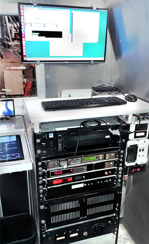
Roots uses software specially developed for these depths, PROCLOG, which provides surprisingly accurate and reliable results under any circumstances and still applicable to readings obtained by other companies as long as they comply with some of the premises indicated in the previous point.
Obviously, the software offers advantages over readings obtained with our technology, especially in the preventive aspect and early diagnosis of contamination.
Roots developed the PROCLOG Software in order to provide the hydrogeologist with invaluable information that could not be obtained directly from the raw data of the profiles, regardless of the company involved in taking the readings.
We thus have an additional tool as an intermediate step between the field profile and hydrogeological interpretation, which provides the analyst with new and powerful points of view, fundamental for an objective and reliable result.
What is done with the interpretation results?
Roots has the largest ecological profiling database in the country, as it is the company that has performed the most profiles in total for all oil companies operating and that have operated in the last ten years in the area. This facilitates the resolution of problems related to environmental issues through correlation grids, while accelerating the detection of possible risk areas from an environmental point of view.